





Penn State’s College of Agricultural Sciences has announced the recent hire of Abby Hodder as the assistant clinical professor of canine behavioral welfare in the Department of Animal Science. Hodder’s onboarding marks the beginning of a Penn State Extension canine program designed to support professional dog breeders through education, outreach and applied research focused on canine behavior and welfare.

Britta Teller and Evan Stover are the co-founders of Steller Floors, a sustainable hardwood floor startup based out of Tyrone. They are regular users of OriginLabs, Invent Penn State's prototyping and fabrication space in State College.

All course information is listed within this syllabus.

The UNESCO Chair in Rural Community, Leadership, and Youth Development focuses on issues of youth and community capacity building, equality and education, economic development, social justice, and sustainable development.
Funding is available to help cover travel, lodging, registration, and hosting costs associated with undergraduate student activities.

The Pre-Vet Club allows students interested in veterinary medicine as a career to interact with each other and provides an opportunity to gain information and experiences relevant to veterinary medicine.
For Grace Wills, president of the University’s oldest student-run environmental group, EcoAction, the recent Old Willow replanting is a small piece of her drive in co-leading a much larger initiative to build a sustainable future at Penn State.

Stormwater runoff has become one of the leading causes of water pollution in urban environments, according to the U.S. Environmental Protection Agency, due to years of cities implementing “gray” infrastructure. Stuart Echols, associate professor of landscape architecture in the Stuckeman School, is working to rectify this with the support of the recently awarded 2024 Stuckeman Fund for Collaborative Design Research Grant for $50,000 over the course of two years.

States that are associated with signature varietals of wine can realize an economic benefit — some examples are regions in California linked with zinfandel, cabernet sauvignon and chardonnay, Oregon with pinot noir and the Finger Lakes region of New York with riesling. Now, a new study by Penn State researchers suggests that a wine grape called grüner veltliner could potentially do the same for Pennsylvania.

New research from an international team, including a Penn State researcher, demonstrates — for the first time — the use of CRISPR-Cas9 gene editing in kissing bugs and opens the door to research on applied strategies for Chagas disease control.

Two Penn State College of Agricultural Sciences faculty members and an assistant director with Penn State Extension recently furthered their knowledge of leadership principles by completing the LEAD21 leadership development program, a national yearlong program to develop leaders in land-grant institutions and their strategic partners who link research, academics and extension and can navigate an increasingly complex environment to lead more effectively in their current or future leadership positions.

Latest Issue
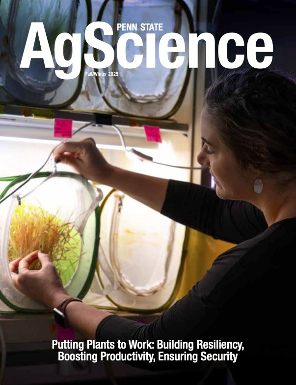
Features
Fostering Forests
Across the United States, forests face unprecedented threats, and scientists in Penn State's College of Agricultural Sciences are conducting novel and complex research to conserve them.
Buzzing With Purpose
Community scientists work to protect Pennsylvania's wild bees
Conservation Reimagined
Exploring new approaches to cope with a changing climate
